On location / Production support
A place to plan.
Right on location.
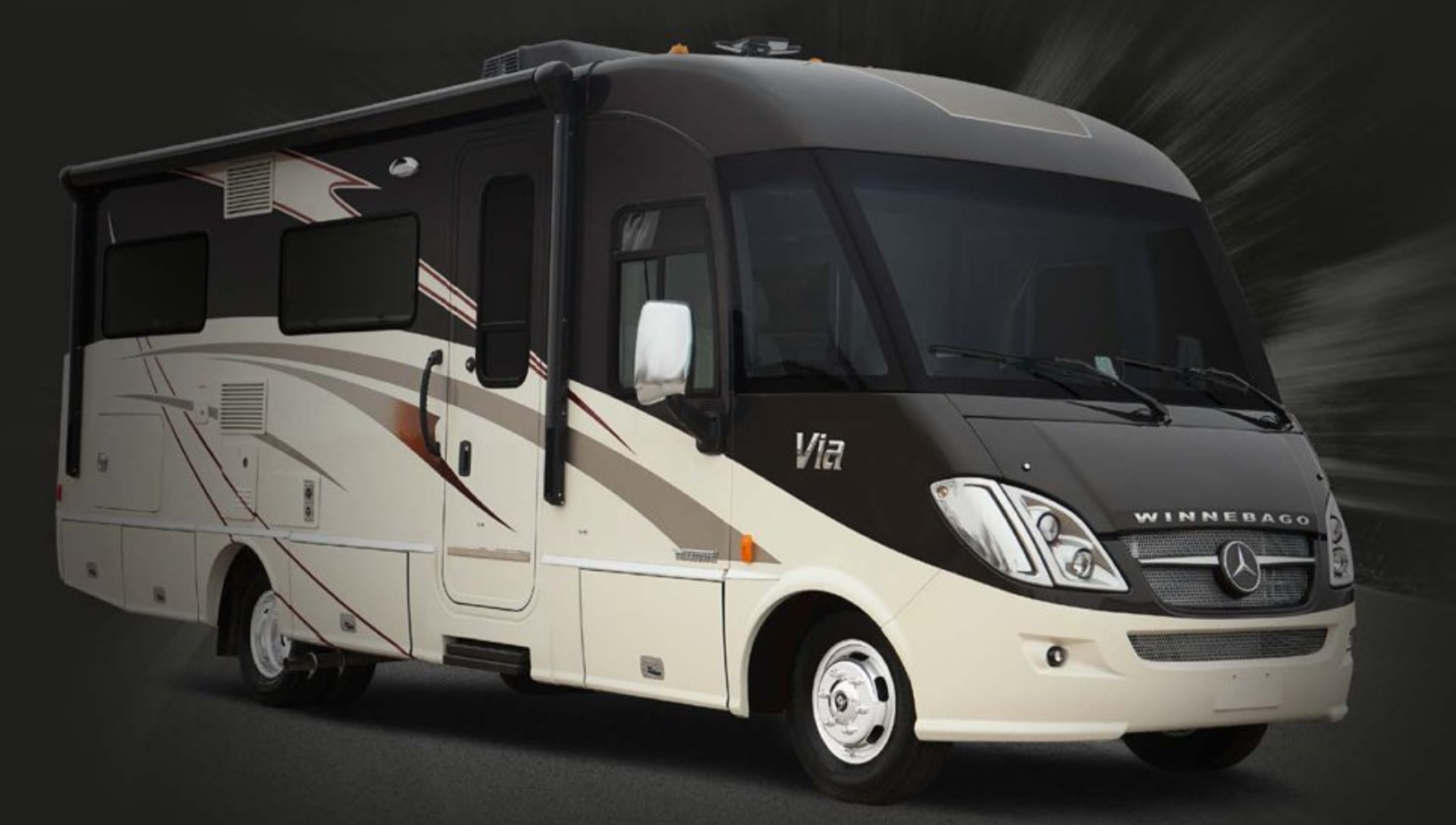
A 25-foot motorcoach brings meeting space, onboard power and practical facilities to the production.
Read the story ↗Production stories / Sphere waypoints & RTK
Sphere / Waypoints & RTK
Specific aerial paths, planned waypoint missions and the role of RTK positioning.
From the field
Jim Kegley / Area 51 Drones
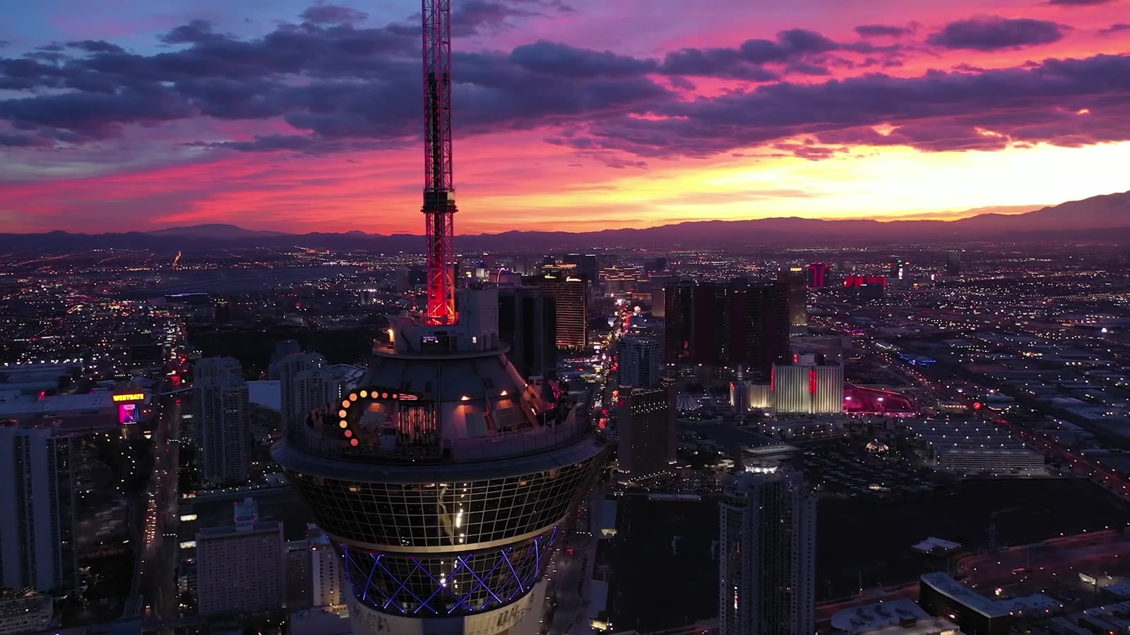
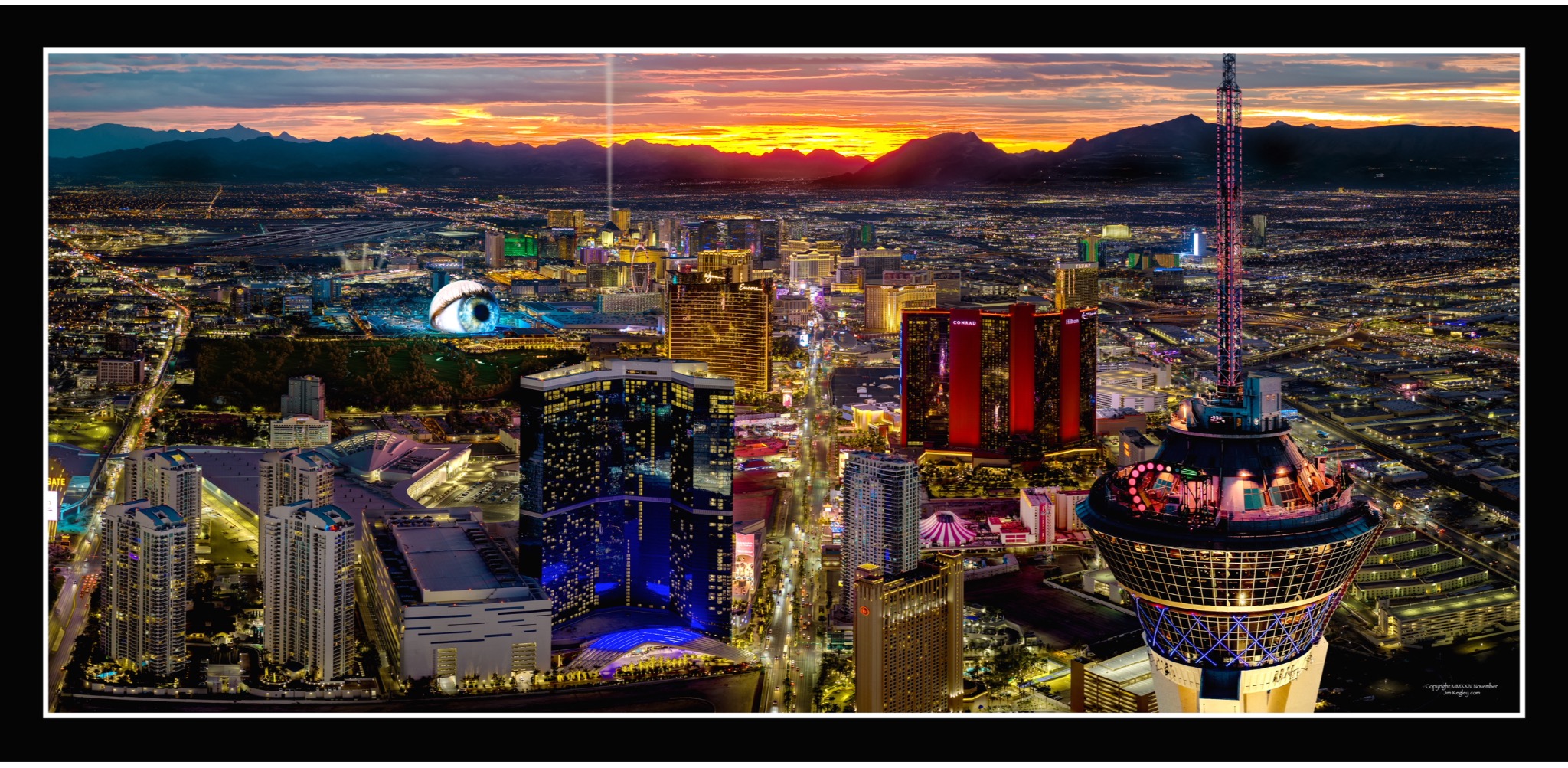
The brief called for specific planned flight routes at Sphere in Las Vegas. Waypoint missions defined the route, with RTK—real-time kinematic positioning—used to improve the aircraft’s positioning accuracy.
The client valued the precision of the planned routes and was pleased with the results. The published story does not identify the client.
RTK supports positioning. It does not increase the aircraft’s resistance to wind, and gusts can still affect route accuracy and flight decisions.
Waypoint programming and RTK do not authorize a flight or establish compliance. Airspace, people, vehicles, property access and the actual conditions remain part of each production’s assessment.
On location / Production support
A 25-foot motorcoach brings meeting space, onboard power and practical facilities to the production.
Read the story ↗Connected production / Inspire 3
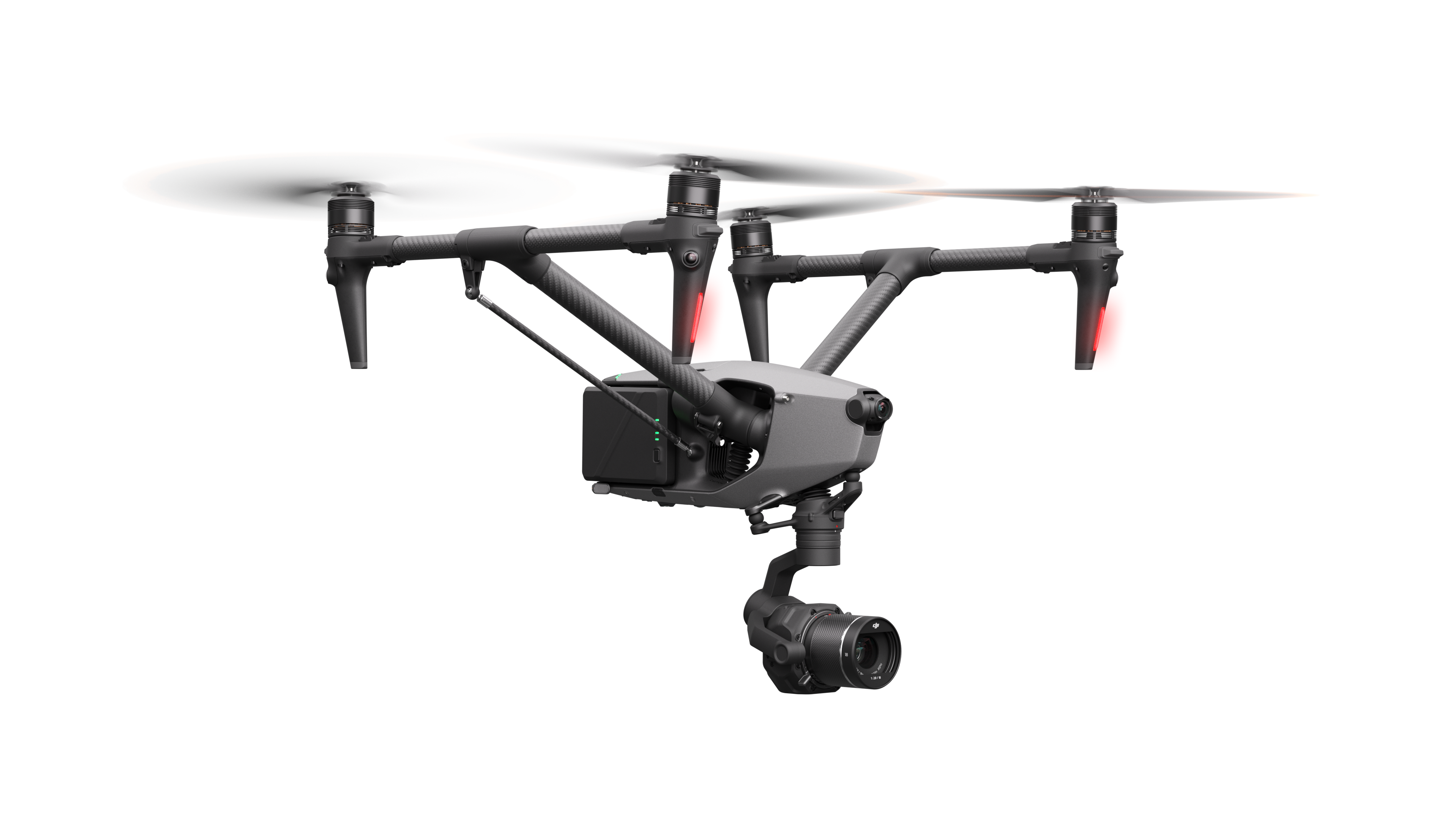
How a corporate team followed an Inspire 3 feed remotely through social media and YouTube.
Read the story ↗Camera movement / RTK & 3D Dolly
A planned path with flexibility to shape timing, framing and the next take.
Read the story ↗